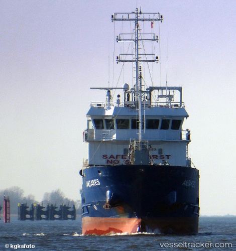
 ANTARES
Current Status
Where is the vessel?
ANTARES is currently in Near Kao-Hsiung Kang, based on AIS data received about 15h ago.
Latest AIS update:
Current position: 22.58565° N, 120.25750° E (Near Kao-Hsiung Kang)
Average speed (last 7 days): Loading…
Average speed (last 30 days): Loading…
Vessel profile: ANTARES is a Oil/Chemical Tanker with dimensions m x m.
This page combines live AIS, route history, probable destination signals, nearby traffic, and port activity for practical vessel monitoring.
The current position of vessel ANTARES is 22.58565 lat / 120.25750 lng. Updated: 2026-05-20 19:08:06 UTCNearest reference points:
- Near Kao-Hsiung Kang
- Near Kaohsiung
- Near Tso-Ying
Currently sailing under the flag of Belize ![]()
Details:
Live Vessel ANTARES Analytics (details, animations, etc.)
Recent AIS points (UTC):
2026-05-20 15:50:06 UTC · 22.58582, 120.25787 · SOG 0 kn · COG 323°2026-05-20 17:05:06 UTC · 22.58572, 120.25765 · SOG 0 kn · COG 340°
2026-05-20 18:17:06 UTC · 22.58568, 120.25760 · SOG 0 kn · COG 346°
2026-05-20 19:08:06 UTC · 22.58565, 120.25750 · SOG 0 kn · COG 350°