 BOBIK
BOBIK
Current Status
Where is the vessel?
BOBIK is currently in Near ZEYTINBURNU, based on AIS data received about 14h ago.
Latest AIS update:
Current position: 40.95638° N, 28.90325° E (Near ZEYTINBURNU)
Average speed (last 7 days): Loading…
Average speed (last 30 days): Loading…
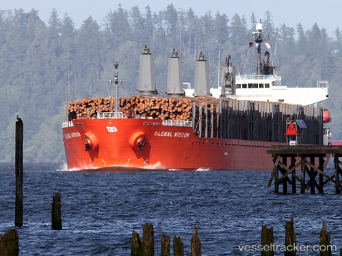
Vessel profile: BOBIK is a Bulk Carrier with dimensions m x m.
This page combines live AIS, route history, probable destination signals, nearby traffic, and port activity for practical vessel monitoring.
The current position of vessel BOBIK is 40.95638 lat / 28.90325 lng. Updated: 2026-06-04 06:09:45 UTCNearest reference points:
- Near BAKIRKOY
- Near ZEYTINBURNU
- Near Davutpasa
Currently sailing under the flag of Barbados ![]()
Details:
Live Vessel BOBIK Analytics (details, animations, etc.)
Recent AIS points (UTC):
2026-06-04 01:57:45 UTC · 40.95635, 28.90583 · SOG 0 kn · COG 217°2026-06-04 04:30:47 UTC · 40.95685, 28.90402 · SOG 0.1 kn · COG 168°
2026-06-04 05:27:43 UTC · 40.95630, 28.90322 · SOG 0 kn · COG 135°
2026-06-04 06:09:45 UTC · 40.95638, 28.90325 · SOG 0 kn · COG 137°