 vesseltracker.com
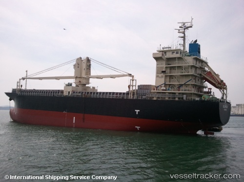
 BERKAY N
Current Status
Where is the vessel?
BERKAY N is currently in 29 nm N of Isole Tremiti, based on AIS data received less than 1h ago.
Latest AIS update:
Current position: 42.57900° N, 15.62929° E (29 nm N of Isole Tremiti)
Average speed (last 7 days): Loading…
Average speed (last 30 days): Loading…
Vessel profile: BERKAY N is a General Cargo Ship with dimensions 105m x 20m.
This page combines live AIS, route history, probable destination signals, nearby traffic, and port activity for practical vessel monitoring.
The current position of vessel BERKAY N is 42.57900 lat / 15.62929 lng. Updated: 2026-04-18 07:56:57 UTCNearest reference points:
- 26 nm N of Isole Tremiti
- Near TERMOLI
- Near Rogac
Currently sailing under the flag of Barbados ![]()
BERKAY N built in 2008 year
Deadweight:
12046 tDetails:
Live Vessel BERKAY N Analytics (details, animations, etc.)
Recent AIS points (UTC):
2026-04-18 02:33:07 UTC · 43.17850, 14.74284 · SOG 12.4 kn · COG 134°2026-04-18 04:20:46 UTC · 42.97389, 15.04547 · SOG 9.9 kn · COG 130°
2026-04-18 06:18:16 UTC · 42.76102, 15.36575 · SOG 9.4 kn · COG 131°
2026-04-18 07:56:57 UTC · 42.57900, 15.62929 · SOG 10.2 kn · COG 132°