 ABANA
ABANA
Current Status
Where is the vessel?
ABANA is currently in Near GENT, based on AIS data received about 14h ago.
Latest AIS update:
Current position: 51.07625° N, 3.73575° E (Near GENT)
Average speed (last 7 days): Loading…
Average speed (last 30 days): Loading…
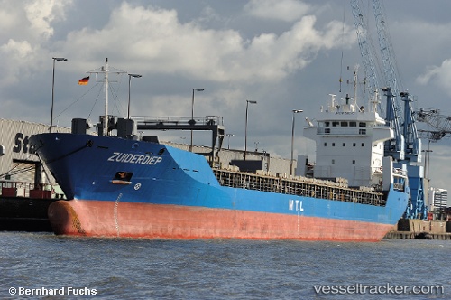
Vessel profile: ABANA is a General Cargo with dimensions m x m.
This page combines live AIS, route history, probable destination signals, nearby traffic, and port activity for practical vessel monitoring.
The current position of vessel ABANA is 51.07625 lat / 3.73575 lng. Updated: 2026-07-30 07:30:10 UTCNearest reference points:
- Near Oostakker
- Near Rieme
- Near Landegem
Currently sailing under the flag of Barbados ![]()
Details:
Live Vessel ABANA Analytics (details, animations, etc.)
Recent AIS points (UTC):
2026-07-30 04:12:11 UTC · 51.07623, 3.73578 · SOG 0 kn · COG 355°2026-07-30 04:15:13 UTC · 51.07628, 3.73572 · SOG 0 kn · COG 355°
2026-07-30 05:21:08 UTC · 51.07621, 3.73577 · SOG 0 kn · COG 355°
2026-07-30 07:30:10 UTC · 51.07625, 3.73575 · SOG 0 kn · COG 354°