Star Flame
Current StatusWhere is the vessel?
Star Flame is currently in Near Shitoubu Pt, based on AIS data received about 14h ago.
Latest AIS update:
Current position: 21.48166° N, 109.55179° E (Near Shitoubu Pt)
Average speed (last 7 days): Loading…
Average speed (last 30 days): Loading…
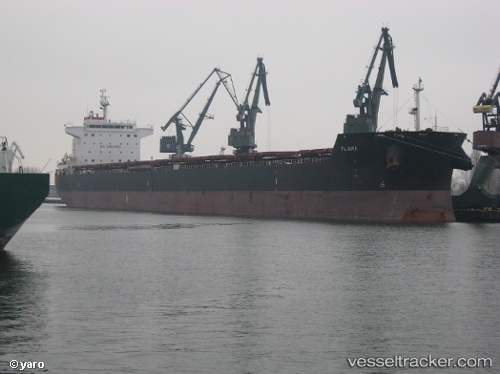
Vessel profile: Star Flame is a Bulk Carrier with dimensions 32m x 230m.
This page combines live AIS, route history, probable destination signals, nearby traffic, and port activity for practical vessel monitoring.
The current position of vessel Star Flame is 21.48166 lat / 109.55179 lng. Updated: 2026-07-04 01:50:10 UTCNearest reference points:
- Near Beihai Pt
- Near Hepu
- Near Beihai
Details:
Live Vessel Star Flame Analytics (details, animations, etc.)
Recent AIS points (UTC):
2026-07-03 21:47:11 UTC · 21.48153, 109.55178 · SOG 0 kn · COG 24°2026-07-03 23:17:11 UTC · 21.48160, 109.55181 · SOG 0 kn · COG 24°
2026-07-03 23:41:11 UTC · 21.48168, 109.55179 · SOG 0 kn · COG 24°
2026-07-04 01:50:10 UTC · 21.48166, 109.55179 · SOG 0 kn · COG 24°