 MULTIMARE
Current Status
Where is the vessel?
MULTIMARE is currently in 11 nm NW of Kefken, based on AIS data received about 15h ago.
Latest AIS update:
Current position: 41.32417° N, 30.07733° E (11 nm NW of Kefken)
Average speed (last 7 days): Loading…
Average speed (last 30 days): Loading…
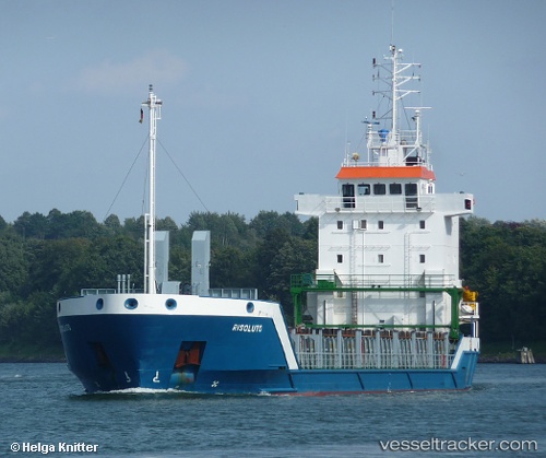
Vessel profile: MULTIMARE is a General Cargo with dimensions m x m.
This page combines live AIS, route history, probable destination signals, nearby traffic, and port activity for practical vessel monitoring.
The current position of vessel MULTIMARE is 41.32417 lat / 30.07733 lng. Updated: 2026-05-22 02:25:37 UTCNearest reference points:
- Near Derince
- Near AUTOPORT
- Near KORFEZ
Currently sailing under the flag of Saint Kitts and Nevis ![]()
Details:
Live Vessel MULTIMARE Analytics (details, animations, etc.)
Recent AIS points (UTC):
2026-05-22 01:58:38 UTC · 41.31633, 29.96883 · SOG 11 kn · COG 83°2026-05-22 02:25:37 UTC · 41.32417, 30.07733 · SOG 10.9 kn · COG 84°
2026-05-22 02:25:37 UTC · 41.32417, 30.07733 · SOG 10.9 kn · COG 84°
2026-05-22 02:25:37 UTC · 41.32417, 30.07733 · SOG 10.9 kn · COG 84°