 vesseltracker.com
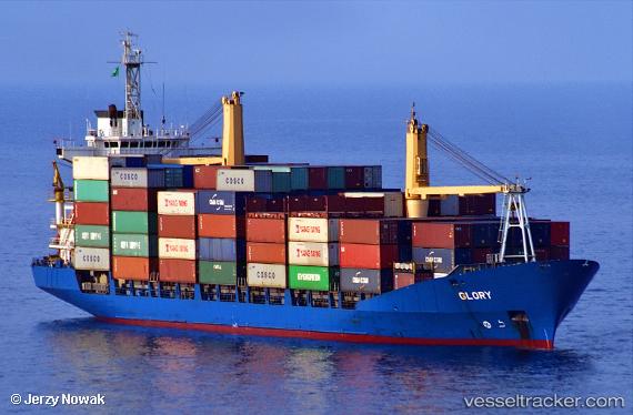
 NADIA
NADIA
Current Status
Where is the vessel?
NADIA is currently in 63 nm W of Okha, based on AIS data received less than 1h ago.
Latest AIS update:
Current position: 22.77772° N, 67.99681° E (63 nm W of Okha)
Average speed (last 7 days): Loading…
Average speed (last 30 days): Loading…
Vessel profile: NADIA is a Container Ship with dimensions 149m x 149m.
This page combines live AIS, route history, probable destination signals, nearby traffic, and port activity for practical vessel monitoring.
The current position of vessel NADIA is 22.77772 lat / 67.99681 lng. Updated: 2026-05-14 21:31:51 UTCNearest reference points:
- 13 nm W of Måndvi
- 49 nm S of Positra
- Near Khambhaliya
Currently sailing under the flag of St.Kitts and Nevis ![]()
NADIA built in 1997 year
Deadweight:
12583 tDetails:
Live Vessel NADIA Analytics (details, animations, etc.)
Recent AIS points (UTC):
2026-05-14 18:01:51 UTC · 22.77822, 67.99173 · SOG 1.6 kn · COG 327°2026-05-14 19:14:28 UTC · 22.78038, 67.99119 · SOG 1.2 kn · COG 0°
2026-05-14 20:03:11 UTC · 22.78301, 67.99029 · SOG 2.7 kn · COG 203°
2026-05-14 21:31:51 UTC · 22.77772, 67.99681 · SOG 2.4 kn · COG 252°