 RUSADER
Current Status
Where is the vessel?
RUSADER is currently in Near Isdemir, based on AIS data received about 14h ago.
Latest AIS update:
Current position: 36.69208° N, 36.19640° E (Near Isdemir)
Average speed (last 7 days): Loading…
Average speed (last 30 days): Loading…
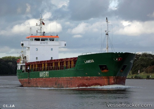
Vessel profile: RUSADER is a General Cargo Ship with dimensions 88m x 13m.
This page combines live AIS, route history, probable destination signals, nearby traffic, and port activity for practical vessel monitoring.
The current position of vessel RUSADER is 36.69208 lat / 36.19640 lng. Updated: 2026-05-22 04:13:20 UTCNearest reference points:
- Near Iskenderun
- Near DORTYOL
- 13 nm W of Iskenderun
Currently sailing under the flag of Panama ![]()
RUSADER built in 1994 year
Deadweight:
3710 tDetails:
Live Vessel RUSADER Analytics (details, animations, etc.)
Recent AIS points (UTC):
2026-05-22 01:10:15 UTC · 36.69206, 36.19638 · SOG 0.1 kn · COG 245°2026-05-22 02:04:17 UTC · 36.69207, 36.19639 · SOG 0.1 kn · COG 245°
2026-05-22 03:28:19 UTC · 36.69204, 36.19638 · SOG 0.3 kn · COG 245°
2026-05-22 04:13:20 UTC · 36.69208, 36.19640 · SOG 0.3 kn · COG 244°