 ELVITA R
Current Status
Where is the vessel?
ELVITA R is currently in Near Rozi, based on AIS data received about 15h ago.
Latest AIS update:
Current position: 22.65732° N, 70.05831° E (Near Rozi)
Average speed (last 7 days): Loading…
Average speed (last 30 days): Loading…
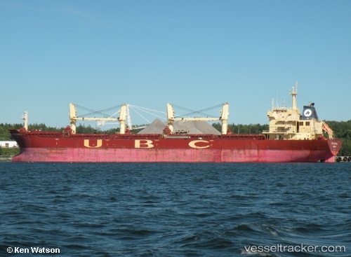
Vessel profile: ELVITA R is a Bulk Carrier with dimensions 190m x 190m.
This page combines live AIS, route history, probable destination signals, nearby traffic, and port activity for practical vessel monitoring.
The current position of vessel ELVITA R is 22.65732 lat / 70.05831 lng. Updated: 2026-06-06 05:34:09 UTCNearest reference points:
- Near Rozi
- 12 nm N of Rozi
- 15 nm N of Rozi
Currently sailing under the flag of Panama ![]()
ELVITA R built in 2009 year
Deadweight:
53428 tDetails:
Live Vessel ELVITA R Analytics (details, animations, etc.)
Recent AIS points (UTC):
2026-06-06 02:34:10 UTC · 22.65919, 70.05586 · SOG 0 kn · COG 163°2026-06-06 04:01:09 UTC · 22.65911, 70.05697 · SOG 0 kn · COG 192°
2026-06-06 05:01:10 UTC · 22.65823, 70.05801 · SOG 0 kn · COG 232°
2026-06-06 05:34:09 UTC · 22.65732, 70.05831 · SOG 0 kn · COG 271°