TAGOR
Current StatusWhere is the vessel?
TAGOR is currently in 53 nm SE of Ryuo, based on AIS data received about 126d ago.
Latest AIS update:
Current position: 34.92688° N, 17.20797° E (53 nm SE of Ryuo)
Average speed (last 7 days): Loading…
Average speed (last 30 days): Loading…
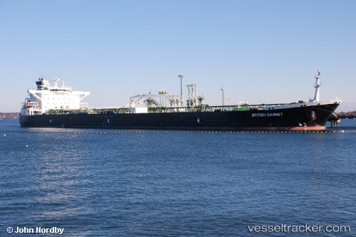
Vessel profile: TAGOR is a Crude Oil Tanker with dimensions 252m x 44m.
This page combines live AIS, route history, probable destination signals, nearby traffic, and port activity for practical vessel monitoring.
The current position of vessel TAGOR is 34.92688 lat / 17.20797 lng. Updated: 2026-02-15 20:15:01 UTCNearest reference points:
- 73 nm N of Pinelands
- 71 nm N of Pinelands
- 33 nm N of Ryuo
Currently sailing under the flag of Marshall Is
TAGOR built in 2005 year
Deadweight:
114809 tDetails:
Live Vessel TAGOR Analytics (details, animations, etc.)
Recent AIS points (UTC):
2026-02-15 20:15:01 UTC · 34.92688, 17.20797 · SOG 1.5 kn · COG 297°