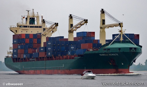
 MERATUS JAYAKARTA
Current Status
Where is the vessel?
MERATUS JAYAKARTA is currently in 242 nm W of Ile Desroches, based on AIS data received about 16h ago.
Latest AIS update:
Current position: 5.88500° S, 49.64167° E (242 nm W of Ile Desroches)
Average speed (last 7 days): Loading…
Average speed (last 30 days): Loading…
Vessel profile: MERATUS JAYAKARTA is a Container Ship with dimensions m x m.
This page combines live AIS, route history, probable destination signals, nearby traffic, and port activity for practical vessel monitoring.
The current position of vessel MERATUS JAYAKARTA is -5.88500 lat / 49.64167 lng. Updated: 2026-05-22 19:24:39 UTCNearest reference points:
- 219 nm W of Ile Desroches
- 118 nm W of Ile Desroches
Currently sailing under the flag of Panama ![]()
Details:
Live Vessel MERATUS JAYAKARTA Analytics (details, animations, etc.)
Recent AIS points (UTC):
2026-05-22 16:57:37 UTC · -6.25500, 49.11833 · SOG 15 kn · COG -1°2026-05-22 18:24:37 UTC · -6.03833, 49.42833 · SOG 15 kn · COG -1°
2026-05-22 19:03:38 UTC · -5.93833, 49.56667 · SOG 15 kn · COG -1°
2026-05-22 19:24:39 UTC · -5.88500, 49.64167 · SOG 15 kn · COG -1°