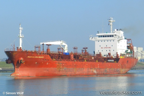
 HAVEN
HAVEN
Current Status
Where is the vessel?
HAVEN is currently in 28 nm W of Pulau Jarak, based on AIS data received about 14h ago.
Latest AIS update:
Current position: 3.87493° N, 99.61800° E (28 nm W of Pulau Jarak)
Average speed (last 7 days): Loading…
Average speed (last 30 days): Loading…
Vessel profile: HAVEN is a Oil/Chemical Tanker with dimensions m x m.
This page combines live AIS, route history, probable destination signals, nearby traffic, and port activity for practical vessel monitoring.
The current position of vessel HAVEN is 3.87493 lat / 99.61800 lng. Updated: 2026-05-20 17:42:55 UTCNearest reference points:
- 43 nm NE of Perbaungan
- 11 nm W of Pangkur
- 10 nm NE of Belawan
Currently sailing under the flag of Panama ![]()
Details:
Live Vessel HAVEN Analytics (details, animations, etc.)
Recent AIS points (UTC):
2026-05-20 05:24:07 UTC · 4.95250, 98.17103 · SOG 11 kn · COG 123°2026-05-20 16:19:24 UTC · 4.01170, 99.43990 · SOG 8.9 kn · COG 127°
2026-05-20 16:26:34 UTC · 4.00105, 99.45487 · SOG 9.1 kn · COG 127°
2026-05-20 17:42:55 UTC · 3.87493, 99.61800 · SOG 9.8 kn · COG 123°