 BAO LI
Current Status
Where is the vessel?
BAO LI is currently in Near Malabon, based on AIS data received about 14h ago.
Latest AIS update:
Current position: 14.61401° N, 120.88111° E (Near Malabon)
Average speed (last 7 days): Loading…
Average speed (last 30 days): Loading…
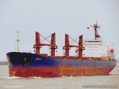
Vessel profile: BAO LI is a Bulk Carrier with dimensions m x m.
This page combines live AIS, route history, probable destination signals, nearby traffic, and port activity for practical vessel monitoring.
The current position of vessel BAO LI is 14.61401 lat / 120.88111 lng. Updated: 2026-06-15 04:09:39 UTCNearest reference points:
- Near Malabon
- Near Tondo
- Near Caloocan City
Currently sailing under the flag of Panama ![]()
Details:
Live Vessel BAO LI Analytics (details, animations, etc.)
Recent AIS points (UTC):
2026-06-15 01:21:35 UTC · 14.61444, 120.88226 · SOG 0 kn · COG 310°2026-06-15 01:27:35 UTC · 14.61441, 120.88226 · SOG 0 kn · COG 312°
2026-06-15 03:51:39 UTC · 14.61397, 120.88092 · SOG 0 kn · COG 5°
2026-06-15 04:09:39 UTC · 14.61401, 120.88111 · SOG 0 kn · COG 354°