 MOSTAR
Current Status
Where is the vessel?
MOSTAR is currently in Near Ras Sudr, based on AIS data received about 17h ago.
Latest AIS update:
Current position: 29.72465° N, 32.57197° E (Near Ras Sudr)
Average speed (last 7 days): Loading…
Average speed (last 30 days): Loading…
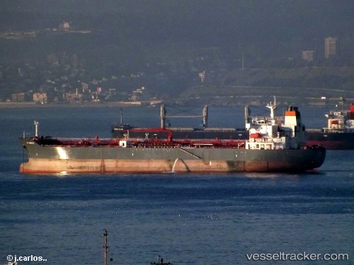
Vessel profile: MOSTAR is a Oil/Chemical Tanker with dimensions m x m.
This page combines live AIS, route history, probable destination signals, nearby traffic, and port activity for practical vessel monitoring.
The current position of vessel MOSTAR is 29.72465 lat / 32.57197 lng. Updated: 2026-07-15 03:58:28 UTCNearest reference points:
- Near Ras Sudr
- Near Al Adabiyah
- Near Bur Ibrahim
Currently sailing under the flag of Panama ![]()
Details:
Live Vessel MOSTAR Analytics (details, animations, etc.)
Recent AIS points (UTC):
2026-07-15 00:13:18 UTC · 29.25783, 32.73873 · SOG 11.7 kn · COG 338°2026-07-15 01:34:47 UTC · 29.50333, 32.61453 · SOG 11.7 kn · COG 338°
2026-07-15 02:08:37 UTC · 29.60283, 32.56763 · SOG 10.5 kn · COG 353°
2026-07-15 03:58:28 UTC · 29.72465, 32.57197 · SOG 0.1 kn · COG -1°