 T HANDAN
Current Status
Where is the vessel?
T HANDAN is currently in 209 nm SE of Island View, based on AIS data received about 14h ago.
Latest AIS update:
Current position: 31.66616° S, 34.50421° E (209 nm SE of Island View)
Average speed (last 7 days): Loading…
Average speed (last 30 days): Loading…
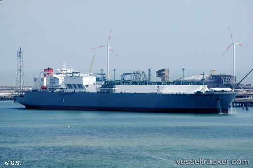
Vessel profile: T HANDAN is a Lng Tanker with dimensions m x m.
This page combines live AIS, route history, probable destination signals, nearby traffic, and port activity for practical vessel monitoring.
The current position of vessel T HANDAN is -31.66616 lat / 34.50421 lng. Updated: 2026-05-20 12:59:58 UTCNearest reference points:
- 181 nm SE of Hibberdene
- 163 nm SE of Richards Bay
- 125 nm SE of Port Edward
Currently sailing under the flag of Panama ![]()
Details:
Live Vessel T HANDAN Analytics (details, animations, etc.)
Recent AIS points (UTC):
2026-05-20 10:10:19 UTC · -31.43105, 35.08185 · SOG 11.2 kn · COG 241°2026-05-20 10:17:09 UTC · -31.43917, 35.05883 · SOG 11.1 kn · COG 238°
2026-05-20 11:37:03 UTC · -31.53998, 34.78826 · SOG 11.6 kn · COG 239°
2026-05-20 12:59:58 UTC · -31.66616, 34.50421 · SOG 12 kn · COG 239°