 Millennium Bright
Current Status
Where is the vessel?
Millennium Bright is currently in Near Kompong Som, based on AIS data received about 14h ago.
Latest AIS update:
Current position: 10.67095° N, 103.43323° E (Near Kompong Som)
Average speed (last 7 days): Loading…
Average speed (last 30 days): Loading…
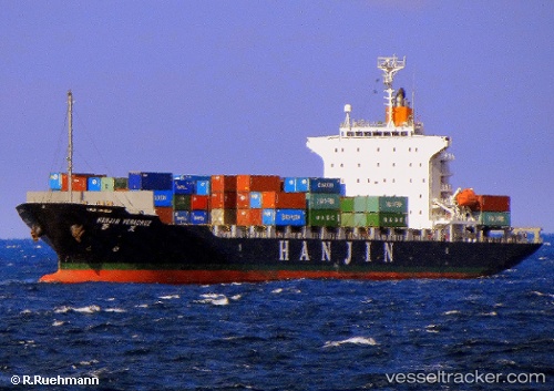
Vessel profile: Millennium Bright is a Container Ship with dimensions 172m x 28m.
This page combines live AIS, route history, probable destination signals, nearby traffic, and port activity for practical vessel monitoring.
The current position of vessel Millennium Bright is 10.67095 lat / 103.43323 lng. Updated: 2026-05-20 00:06:23 UTCNearest reference points:
- Near KRONG PREAH SIHANOUK
- 63 nm NW of Dai Hung (STS Load)
- 43 nm E of Benchamas
Currently sailing under the flag of Panama ![]()
Millennium Bright built in 2009 year
Deadweight:
21933 tDetails:
Live Vessel Millennium Bright Analytics (details, animations, etc.)
Recent AIS points (UTC):
2026-05-19 20:15:23 UTC · 10.67115, 103.43415 · SOG 0.1 kn · COG -1°2026-05-19 21:27:23 UTC · 10.67080, 103.43355 · SOG 0 kn · COG 338°
2026-05-19 23:06:23 UTC · 10.67087, 103.43332 · SOG 0 kn · COG 344°
2026-05-20 00:06:23 UTC · 10.67095, 103.43323 · SOG 0 kn · COG 347°