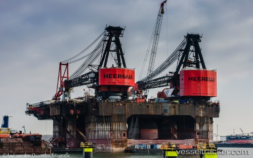
 Balder
Current Status
Where is the vessel?
Balder is currently in 30 nm N of Volve, based on AIS data received about 14h ago.
Latest AIS update:
Current position: 58.88833° N, 1.55667° E (30 nm N of Volve)
Average speed (last 7 days): Loading…
Average speed (last 30 days): Loading…
Vessel profile: Balder is a Service Ship with dimensions 154m x 104m.
This page combines live AIS, route history, probable destination signals, nearby traffic, and port activity for practical vessel monitoring.
The current position of vessel Balder is 58.88833 lat / 1.55667 lng. Updated: 2026-05-25 01:55:50 UTCNearest reference points:
- 10 nm N of Leadon
- Near Alba Oil Field
- 19 nm W of Curlew
Currently sailing under the flag of Panama ![]()
Balder built in 1978 year
Deadweight:
59404 tDetails:
Live Vessel Balder Analytics (details, animations, etc.)
Recent AIS points (UTC):
2026-05-24 22:25:51 UTC · 58.88167, 1.55667 · SOG 0 kn · COG -1°2026-05-25 00:02:05 UTC · 58.88199, 1.55696 · SOG 0.1 kn · COG -1°
2026-05-25 01:07:49 UTC · 58.88667, 1.55667 · SOG 0 kn · COG -1°
2026-05-25 01:55:50 UTC · 58.88833, 1.55667 · SOG 0 kn · COG -1°