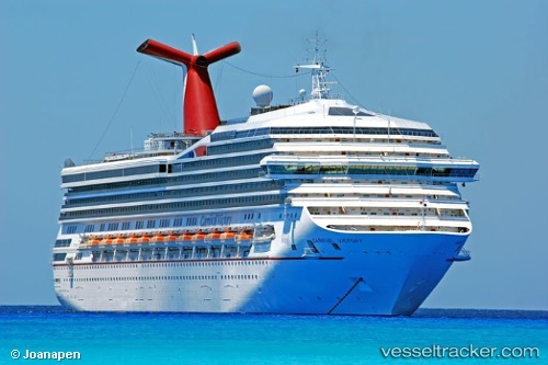
 Carnival Victory
Current Status
Where is the vessel?
Carnival Victory is currently in 37 nm NW of Los Cabos, based on AIS data received about 15h ago.
Latest AIS update:
Current position: 23.17667° N, 110.48667° W (37 nm NW of Los Cabos)
Average speed (last 7 days): Loading…
Average speed (last 30 days): Loading…
Vessel profile: Carnival Victory is a Cruise Ship with dimensions 272m x 44m.
This page combines live AIS, route history, probable destination signals, nearby traffic, and port activity for practical vessel monitoring.
The current position of vessel Carnival Victory is 23.17667 lat / -110.48667 lng. Updated: 2026-06-13 13:28:23 UTCNearest reference points:
- Near Los Cabos
- 69 nm W of Los Cabos
- 71 nm W of Los Cabos
Currently sailing under the flag of Panama ![]()
Carnival Victory built in 2000 year
Deadweight:
10774 tDetails:
Live Vessel Carnival Victory Analytics (details, animations, etc.)
Recent AIS points (UTC):
2026-06-13 10:46:36 UTC · 23.70196, -111.33134 · SOG 21.9 kn · COG 110°2026-06-13 12:13:11 UTC · 23.48333, -110.80333 · SOG 21 kn · COG -1°
2026-06-13 13:21:02 UTC · 23.20975, -110.51356 · SOG 20.1 kn · COG 141°
2026-06-13 13:28:23 UTC · 23.17667, -110.48667 · SOG 20 kn · COG -1°