 Sea Hellinis
Current Status
Where is the vessel?
Sea Hellinis is currently in 29 nm S of Marbella, based on AIS data received about 14h ago.
Latest AIS update:
Current position: 36.05102° N, 4.73113° W (29 nm S of Marbella)
Average speed (last 7 days): Loading…
Average speed (last 30 days): Loading…
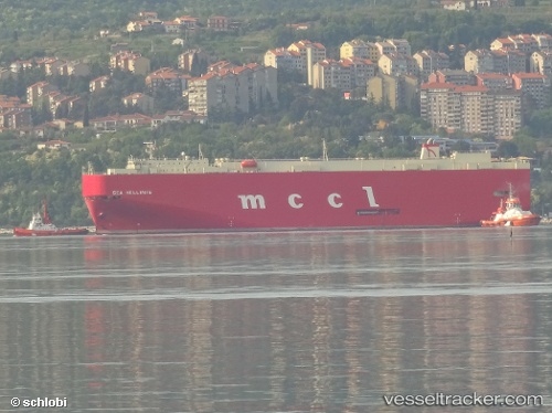
Vessel profile: Sea Hellinis is a Vehicles Carrier with dimensions 180m x 30m.
This page combines live AIS, route history, probable destination signals, nearby traffic, and port activity for practical vessel monitoring.
The current position of vessel Sea Hellinis is 36.05102 lat / -4.73113 lng. Updated: 2026-05-19 22:12:18 UTCNearest reference points:
- 30 nm E of Ceuta
- Near Nueva Andalucia
- Near Fuengirola
Currently sailing under the flag of Panama ![]()
Sea Hellinis built in 2005 year
Deadweight:
14962 tDetails:
Live Vessel Sea Hellinis Analytics (details, animations, etc.)
Recent AIS points (UTC):
2026-05-19 18:06:17 UTC · 35.63954, -6.08281 · SOG 16 kn · COG 29°2026-05-19 19:45:02 UTC · 35.89991, -5.62005 · SOG 19.2 kn · COG -1°
2026-05-19 19:51:18 UTC · 35.90859, -5.57829 · SOG 19.2 kn · COG 68°
2026-05-19 22:12:18 UTC · 36.05102, -4.73113 · SOG 17.5 kn · COG 82°