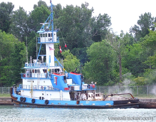
 Allie B
Current Status
Where is the vessel?
Allie B is currently in Near Sparrows Point, based on AIS data received about 14h ago.
Latest AIS update:
Current position: 39.15207° N, 76.34981° W (Near Sparrows Point)
Average speed (last 7 days): Loading…
Average speed (last 30 days): Loading…
Vessel profile: Allie B is a Tug with dimensions 35m x 35m.
This page combines live AIS, route history, probable destination signals, nearby traffic, and port activity for practical vessel monitoring.
The current position of vessel Allie B is 39.15207 lat / -76.34981 lng. Updated: 2026-05-22 04:40:47 UTCNearest reference points:
- Near Orchard Beach
- Near Annapolis
- Near DUNDALK
Currently sailing under the flag of USA ![]()
Allie B built in 1977 year
Details:
Live Vessel Allie B Analytics (details, animations, etc.)
Recent AIS points (UTC):
2026-05-22 02:11:31 UTC · 39.19877, -76.52850 · SOG 0 kn · COG 161°2026-05-22 02:13:20 UTC · 39.19878, -76.52850 · SOG 0 kn · COG 162°
2026-05-22 03:51:21 UTC · 39.18638, -76.46271 · SOG 8.4 kn · COG 108°
2026-05-22 04:40:47 UTC · 39.15207, -76.34981 · SOG 2 kn · COG 122°