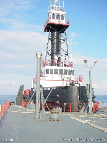
 MARTIN EXPLORER
Current Status
Where is the vessel?
MARTIN EXPLORER is currently in Near Maher Terminal, based on AIS data received about 869d ago.
Latest AIS update:
Current position: 40.64186° N, 74.11994° W (Near Maher Terminal)
Average speed (last 7 days): Loading…
Average speed (last 30 days): Loading…
Vessel profile: MARTIN EXPLORER is a Pusher Tug with dimensions m x m.
This page combines live AIS, route history, probable destination signals, nearby traffic, and port activity for practical vessel monitoring.
The current position of vessel MARTIN EXPLORER is 40.64186 lat / -74.11994 lng. Updated: 2024-01-03 12:58:08 UTCNearest reference points:
- Near Maher Terminal
- Near Port Ivory/Staten Isl/New York
- Near Tompkinsville
Currently sailing under the flag of United States of America ![]()
MARTIN EXPLORER built in 1996 year
Deadweight:
0 tDetails:
Live Vessel MARTIN EXPLORER Analytics (details, animations, etc.)
Recent AIS points (UTC):
2024-01-03 12:58:08 UTC · 40.64186, -74.11994 · SOG 0 kn · COG 341°