 vesseltracker.com
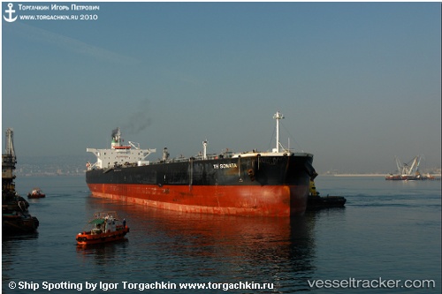
New Amorgos
Current StatusWhere is the vessel?
New Amorgos is currently in 17 nm W of Vescovato, based on AIS data received less than 1h ago.
Latest AIS update:
Current position: 42.53034° N, 9.81592° W (17 nm W of Vescovato)
Average speed (last 7 days): Loading…
Average speed (last 30 days): Loading…
Vessel profile: New Amorgos is a Crude Oil Tanker with dimensions 42m x 244m.
This page combines live AIS, route history, probable destination signals, nearby traffic, and port activity for practical vessel monitoring.
The current position of vessel New Amorgos is 42.53034 lat / -9.81592 lng. Updated: 2026-04-21 21:30:21 UTCNearest reference points:
- 40 nm NW of Sarinena
- Near Portosin
- 11 nm S of Sarinena
Details:
Live Vessel New Amorgos Analytics (details, animations, etc.)
Recent AIS points (UTC):
2026-04-21 17:27:49 UTC · 41.85238, -9.80286 · SOG 9.9 kn · COG 349°2026-04-21 19:03:30 UTC · 42.10861, -9.81430 · SOG 10.1 kn · COG 348°
2026-04-21 19:21:59 UTC · 42.16289, -9.81536 · SOG 10.6 kn · COG 353°
2026-04-21 21:30:21 UTC · 42.53034, -9.81592 · SOG 10.2 kn · COG 353°