 vesseltracker.com
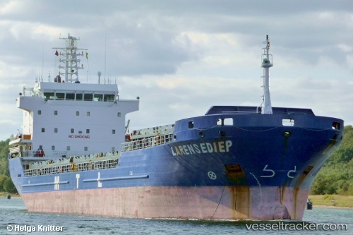
 Gunce Akay
Current Status
Where is the vessel?
Gunce Akay is currently in 16 nm NE of Huévar, based on AIS data received about 1h ago.
Latest AIS update:
Current position: 37.56500° N, 6.43500° E (16 nm NE of Huévar)
Average speed (last 7 days): Loading…
Average speed (last 30 days): Loading…
Vessel profile: Gunce Akay is a General Cargo Ship with dimensions 108m x 18m.
This page combines live AIS, route history, probable destination signals, nearby traffic, and port activity for practical vessel monitoring.
The current position of vessel Gunce Akay is 37.56500 lat / 6.43500 lng. Updated: 2026-05-01 22:06:24 UTCNearest reference points:
- Near Carmona
- Near Skikid
- Near Annaba
Currently sailing under the flag of Panama ![]()
Gunce Akay built in 2007 year
Deadweight:
7776 tDetails:
Live Vessel Gunce Akay Analytics (details, animations, etc.)
Recent AIS points (UTC):
2026-05-01 19:53:31 UTC · 37.59954, 6.89052 · SOG 9.8 kn · COG 260°2026-05-01 20:03:24 UTC · 37.59667, 6.85667 · SOG 9 kn · COG -1°
2026-05-01 20:45:31 UTC · 37.58565, 6.71323 · SOG 9.7 kn · COG 265°
2026-05-01 22:06:24 UTC · 37.56500, 6.43500 · SOG 9 kn · COG -1°