 vesseltracker.com
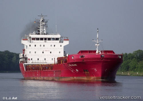
 Y.dadayli
Current Status
Where is the vessel?
Y.dadayli is currently in Near Kéa (Tzia), based on AIS data received less than 1h ago.
Latest AIS update:
Current position: 37.55195° N, 24.16542° E (Near Kéa (Tzia))
Average speed (last 7 days): Loading…
Average speed (last 30 days): Loading…
Vessel profile: Y.dadayli is a General Cargo Ship with dimensions 108m x 108m.
This page combines live AIS, route history, probable destination signals, nearby traffic, and port activity for practical vessel monitoring.
The current position of vessel Y.dadayli is 37.55195 lat / 24.16542 lng. Updated: 2026-04-29 17:28:57 UTCNearest reference points:
- Near Kéa (Tzia)
- Near LAVRIO MARINA
- Near LAVRIO
Currently sailing under the flag of Panama ![]()
Y.dadayli built in 2009 year
Deadweight:
7694 tDetails:
Live Vessel Y.dadayli Analytics (details, animations, etc.)
Recent AIS points (UTC):
2026-04-29 14:26:28 UTC · 37.09883, 23.86234 · SOG 10.2 kn · COG 28°2026-04-29 15:48:57 UTC · 37.30624, 23.99140 · SOG 10.3 kn · COG 29°
2026-04-29 16:47:06 UTC · 37.45211, 24.08918 · SOG 10.2 kn · COG 31°
2026-04-29 17:28:57 UTC · 37.55195, 24.16542 · SOG 10.3 kn · COG 34°