 BELLA JUDI
Current Status
Where is the vessel?
BELLA JUDI is currently in Near Tarabulus, based on AIS data received about 14h ago.
Latest AIS update:
Current position: 32.95965° N, 13.20283° E (Near Tarabulus)
Average speed (last 7 days): Loading…
Average speed (last 30 days): Loading…
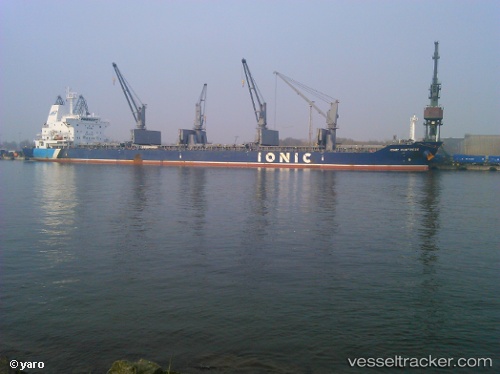
Vessel profile: BELLA JUDI is a Bulk Carrier with dimensions 180m x 30m.
This page combines live AIS, route history, probable destination signals, nearby traffic, and port activity for practical vessel monitoring.
The current position of vessel BELLA JUDI is 32.95965 lat / 13.20283 lng. Updated: 2026-05-21 05:54:20 UTCNearest reference points:
- 22 nm NW of Tarabulus
- 37 nm E of Didon
- Near MISURATA
Currently sailing under the flag of St Vincent Grenadines ![]()
BELLA JUDI built in 2012 year
Deadweight:
34062 tDetails:
Live Vessel BELLA JUDI Analytics (details, animations, etc.)
Recent AIS points (UTC):
2026-05-21 01:45:01 UTC · 32.95872, 13.20189 · SOG 0 kn · COG 323°2026-05-21 04:04:20 UTC · 32.95901, 13.20238 · SOG 0.1 kn · COG 308°
2026-05-21 04:33:00 UTC · 32.95928, 13.20254 · SOG 0.1 kn · COG 299°
2026-05-21 05:54:20 UTC · 32.95965, 13.20283 · SOG 0 kn · COG 285°