 WEDYAN
Current Status
Where is the vessel?
WEDYAN is currently in 59 nm S of Umm Lajj, based on AIS data received about 14h ago.
Latest AIS update:
Current position: 24.08265° N, 36.90373° E (59 nm S of Umm Lajj)
Average speed (last 7 days): Loading…
Average speed (last 30 days): Loading…
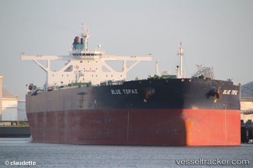
Vessel profile: WEDYAN is a Crude Oil Tanker with dimensions m x m.
This page combines live AIS, route history, probable destination signals, nearby traffic, and port activity for practical vessel monitoring.
The current position of vessel WEDYAN is 24.08265 lat / 36.90373 lng. Updated: 2026-05-20 10:15:52 UTCNearest reference points:
- 74 nm SW of Yanbu
- 35 nm S of Umm Lajj
- 30 nm SW of Yanbu
Currently sailing under the flag of Saudi Arabia ![]()
Details:
Live Vessel WEDYAN Analytics (details, animations, etc.)
Recent AIS points (UTC):
2026-05-20 07:36:11 UTC · 23.71411, 37.37892 · SOG 12.2 kn · COG 305°2026-05-20 08:15:03 UTC · 23.79194, 37.25843 · SOG 12.7 kn · COG 305°
2026-05-20 10:13:22 UTC · 24.07736, 36.91107 · SOG 12.3 kn · COG 312°
2026-05-20 10:15:52 UTC · 24.08265, 36.90373 · SOG 12.3 kn · COG 312°