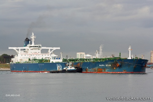
Karan
Current StatusWhere is the vessel?
Karan is currently in 125 nm S of Mul Dwårka, based on AIS data received about 14h ago.
Latest AIS update:
Current position: 18.75908° N, 69.99513° E (125 nm S of Mul Dwårka)
Average speed (last 7 days): Loading…
Average speed (last 30 days): Loading…
Vessel profile: Karan is a Crude Oil Tanker with dimensions 60m x 333m.
This page combines live AIS, route history, probable destination signals, nearby traffic, and port activity for practical vessel monitoring.
The current position of vessel Karan is 18.75908 lat / 69.99513 lng. Updated: 2026-06-16 16:51:08 UTCNearest reference points:
- 33 nm S of Mul Dwårka
- 236 nm SW of Veraval
- Near Jafarabad
Details:
Live Vessel Karan Analytics (details, animations, etc.)
Recent AIS points (UTC):
2026-06-16 13:41:19 UTC · 18.70180, 69.92927 · SOG 1.6 kn · COG 347°2026-06-16 13:56:09 UTC · 18.70595, 69.93513 · SOG 1.7 kn · COG 351°
2026-06-16 15:31:08 UTC · 18.73358, 69.97003 · SOG 1.7 kn · COG 355°
2026-06-16 16:51:08 UTC · 18.75908, 69.99513 · SOG 1.4 kn · COG 354°