 vesseltracker.com
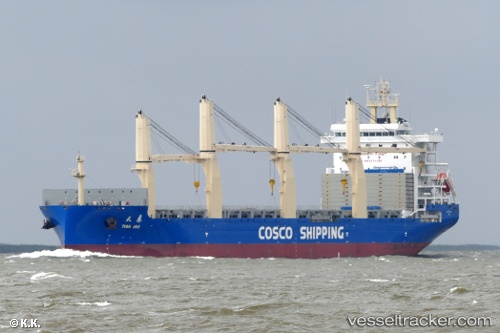
 Tian Hui
Current Status
Where is the vessel?
Tian Hui is currently in 338 nm SE of Pizhou, based on AIS data received about 3h ago.
Latest AIS update:
Current position: 14.49834° N, 60.93448° E (338 nm SE of Pizhou)
Average speed (last 7 days): Loading…
Average speed (last 30 days): Loading…
Vessel profile: Tian Hui is a General Cargo Ship with dimensions 190m x 190m.
This page combines live AIS, route history, probable destination signals, nearby traffic, and port activity for practical vessel monitoring.
The current position of vessel Tian Hui is 14.49834 lat / 60.93448 lng. Updated: 2026-05-14 05:42:11 UTCNearest reference points:
- Open sea, approx. 401 nm off the nearest listed port
- Open sea, approx. 403 nm off the nearest listed port
- Open sea, approx. 402 nm off the nearest listed port
Currently sailing under the flag of China ![]()
Details:
Live Vessel Tian Hui Analytics (details, animations, etc.)
Recent AIS points (UTC):
2026-05-14 00:24:36 UTC · 15.05645, 59.88309 · SOG 12.8 kn · COG 119°2026-05-14 05:42:11 UTC · 14.49834, 60.93448 · SOG 13.5 kn · COG 120°
2026-05-14 05:42:11 UTC · 14.49834, 60.93448 · SOG 13.5 kn · COG 120°
2026-05-14 05:42:11 UTC · 14.49834, 60.93448 · SOG 13.5 kn · COG 120°