 vesseltracker.com
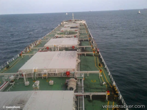
Rui Ning 20
Current StatusWhere is the vessel?
Rui Ning 20 is currently in 27 nm S of Damaiyu, based on AIS data received less than 1h ago.
Latest AIS update:
Current position: 24.74192° N, 119.62670° E (27 nm S of Damaiyu)
Average speed (last 7 days): Loading…
Average speed (last 30 days): Loading…
Vessel profile: Rui Ning 20 is a Bulk Carrier with dimensions 32m x 225m.
This page combines live AIS, route history, probable destination signals, nearby traffic, and port activity for practical vessel monitoring.
The current position of vessel Rui Ning 20 is 24.74192 lat / 119.62670 lng. Updated: 2026-05-15 10:26:54 UTCNearest reference points:
- 13 nm S of Damaiyu
- 17 nm SW of Damaiyu
- Near Damaiyu
Details:
Live Vessel Rui Ning 20 Analytics (details, animations, etc.)
Recent AIS points (UTC):
2026-05-15 06:14:04 UTC · 24.27759, 118.99256 · SOG 9.5 kn · COG 50°2026-05-15 08:02:52 UTC · 24.47124, 119.24931 · SOG 10.4 kn · COG 49°
2026-05-15 08:23:31 UTC · 24.51093, 119.30101 · SOG 10.8 kn · COG 50°
2026-05-15 10:26:54 UTC · 24.74192, 119.62670 · SOG 10.2 kn · COG 48°