 CAPITAL
Current Status
Where is the vessel?
CAPITAL is currently in Near Corpus Christi, based on AIS data received about 16h ago.
Latest AIS update:
Current position: 27.81651° N, 97.42343° W (Near Corpus Christi)
Average speed (last 7 days): Loading…
Average speed (last 30 days): Loading…
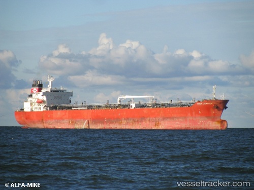
Vessel profile: CAPITAL is a Oil/Chemical Tanker with dimensions m x m.
This page combines live AIS, route history, probable destination signals, nearby traffic, and port activity for practical vessel monitoring.
The current position of vessel CAPITAL is 27.81651 lat / -97.42343 lng. Updated: 2026-05-27 19:36:49 UTCNearest reference points:
- Near Corpus Christi
- Near Aransas Pass
- Near ARANSAS PASS
Currently sailing under the flag of India ![]()
Details:
Live Vessel CAPITAL Analytics (details, animations, etc.)
Recent AIS points (UTC):
2026-05-27 17:03:51 UTC · 27.81647, -97.42340 · SOG 0 kn · COG 114°2026-05-27 17:57:52 UTC · 27.81645, -97.42342 · SOG 0 kn · COG 114°
2026-05-27 19:03:51 UTC · 27.81650, -97.42345 · SOG 0 kn · COG 114°
2026-05-27 19:36:49 UTC · 27.81651, -97.42343 · SOG 0 kn · COG 114°