 KAMUI
KAMUI
Current Status
Where is the vessel?
KAMUI is currently in Near CHIBA, based on AIS data received about 904d ago.
Latest AIS update:
Current position: 35.59401° N, 140.09898° E (Near CHIBA)
Average speed (last 7 days): Loading…
Average speed (last 30 days): Loading…
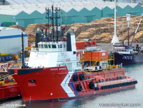
Vessel profile: KAMUI is a Tug with dimensions 14m x 60m.
This page combines live AIS, route history, probable destination signals, nearby traffic, and port activity for practical vessel monitoring.
The current position of vessel KAMUI is 35.59401 lat / 140.09898 lng. Updated: 2023-11-30 03:45:03 UTCNearest reference points:
- Near ANEGASAKI
- Near Aomi
- Near Kawasaki
Currently sailing under the flag of Japan ![]()
KAMUI built in 1999 year
Deadweight:
1308 tDetails:
Live Vessel KAMUI Analytics (details, animations, etc.)
Recent AIS points (UTC):
2023-11-30 03:45:03 UTC · 35.59401, 140.09898 · SOG 0 kn · COG -1°