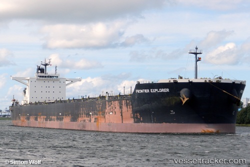
 FRONTIER EXPLORER
Current Status
Where is the vessel?
FRONTIER EXPLORER is currently in 28 nm SE of DONGJIAKOU, based on AIS data received about 15h ago.
Latest AIS update:
Current position: 35.35292° N, 120.30382° E (28 nm SE of DONGJIAKOU)
Average speed (last 7 days): Loading…
Average speed (last 30 days): Loading…
Vessel profile: FRONTIER EXPLORER is a Bulk Carrier with dimensions m x m.
This page combines live AIS, route history, probable destination signals, nearby traffic, and port activity for practical vessel monitoring.
The current position of vessel FRONTIER EXPLORER is 35.35292 lat / 120.30382 lng. Updated: 2026-05-21 03:57:23 UTCNearest reference points:
- 24 nm SE of DONGJIAKOU
- 25 nm SE of DONGJIAKOU
- 37 nm E of DONGJIAKOU
Currently sailing under the flag of Japan ![]()
Details:
Live Vessel FRONTIER EXPLORER Analytics (details, animations, etc.)
Recent AIS points (UTC):
2026-05-21 00:40:29 UTC · 35.35167, 120.29833 · SOG 0 kn · COG -1°2026-05-21 01:22:28 UTC · 35.35167, 120.29833 · SOG 0 kn · COG -1°
2026-05-21 03:09:21 UTC · 35.35093, 120.30133 · SOG 0.1 kn · COG 350°
2026-05-21 03:57:23 UTC · 35.35292, 120.30382 · SOG 0.1 kn · COG 275°