 KMTC DELHI
Current Status
Where is the vessel?
KMTC DELHI is currently in 61 nm E of Krishnapatnam, based on AIS data received about 19h ago.
Latest AIS update:
Current position: 14.27693° N, 81.15768° E (61 nm E of Krishnapatnam)
Average speed (last 7 days): Loading…
Average speed (last 30 days): Loading…
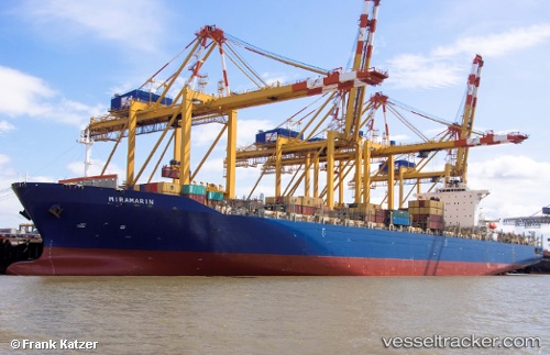
Vessel profile: KMTC DELHI is a Container Ship with dimensions 40m x 299m.
This page combines live AIS, route history, probable destination signals, nearby traffic, and port activity for practical vessel monitoring.
The current position of vessel KMTC DELHI is 14.27693 lat / 81.15768 lng. Updated: 2026-06-23 23:54:08 UTCNearest reference points:
- 17 nm NE of Nandiambakkam
- 80 nm E of Nandiambakkam
- Near Madras
Currently sailing under the flag of Korea (Republic of) ![]()
KMTC DELHI built in 2010 year
Deadweight:
85523 tDetails:
Live Vessel KMTC DELHI Analytics (details, animations, etc.)
Recent AIS points (UTC):
2026-06-23 23:54:08 UTC · 14.27693, 81.15768 · SOG 17.7 kn · COG 39°2026-06-23 23:54:08 UTC · 14.27693, 81.15768 · SOG 17.7 kn · COG 39°
2026-06-23 23:54:08 UTC · 14.27693, 81.15768 · SOG 17.7 kn · COG 39°
2026-06-23 23:54:08 UTC · 14.27693, 81.15768 · SOG 17.7 kn · COG 39°