Cs Umm Al Anber
Current StatusWhere is the vessel?
Cs Umm Al Anber is currently in Near KHORFAKKAN, based on AIS data received about 5d ago.
Latest AIS update:
Current position: 25.39386° N, 56.45450° E (Near KHORFAKKAN)
Average speed (last 7 days): Loading…
Average speed (last 30 days): Loading…
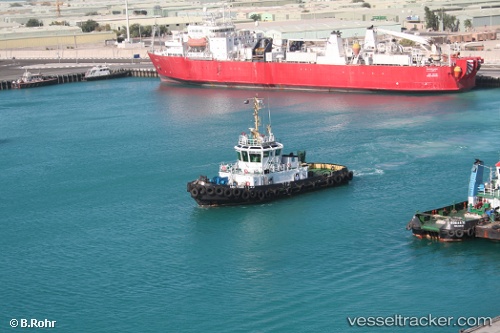
Vessel profile: Cs Umm Al Anber is a Cable Layer with dimensions 20m x 133m.
This page combines live AIS, route history, probable destination signals, nearby traffic, and port activity for practical vessel monitoring.
The current position of vessel Cs Umm Al Anber is 25.39386 lat / 56.45450 lng. Updated: 2026-05-15 10:18:10 UTCNearest reference points:
- Near KHORFAKKAN
- Near Fujairah
- Near Offshore Fujairah
Details:
Live Vessel Cs Umm Al Anber Analytics (details, animations, etc.)
Recent AIS points (UTC):
2026-05-15 10:18:10 UTC · 25.39386, 56.45450 · SOG 0 kn · COG 114°2026-05-15 10:18:10 UTC · 25.39386, 56.45450 · SOG 0 kn · COG 114°
2026-05-15 10:18:10 UTC · 25.39386, 56.45450 · SOG 0 kn · COG 114°
2026-05-15 10:18:10 UTC · 25.39386, 56.45450 · SOG 0 kn · COG 114°