 vesseltracker.com
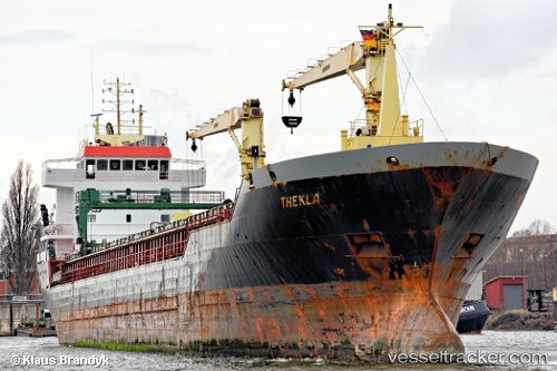
 SARA
SARA
Current Status
Where is the vessel?
SARA is currently in Near TUZLA, based on AIS data received about 1h ago.
Latest AIS update:
Current position: 40.83978° N, 29.27248° E (Near TUZLA)
Average speed (last 7 days): Loading…
Average speed (last 30 days): Loading…
Vessel profile: SARA is a General Cargo Ship with dimensions 132m x 16m.
This page combines live AIS, route history, probable destination signals, nearby traffic, and port activity for practical vessel monitoring.
The current position of vessel SARA is 40.83978 lat / 29.27248 lng. Updated: 2026-05-13 22:43:19 UTCNearest reference points:
- Near TUZLA
- Near PENDIK
- Near Tuzla Free Zone
Currently sailing under the flag of Palau (Republic of) ![]()
SARA built in 2003 year
Deadweight:
8949 tDetails:
Live Vessel SARA Analytics (details, animations, etc.)
Recent AIS points (UTC):
2026-05-13 19:16:18 UTC · 40.83973, 29.27233 · SOG 0 kn · COG 239°2026-05-13 20:16:20 UTC · 40.83975, 29.27237 · SOG 0 kn · COG 239°
2026-05-13 21:31:21 UTC · 40.83978, 29.27234 · SOG 0 kn · COG 240°
2026-05-13 22:43:19 UTC · 40.83978, 29.27248 · SOG 0 kn · COG 239°