 FIDAN
FIDAN
Current Status
Where is the vessel?
FIDAN is currently in 12 nm S of Trelleborg, based on AIS data received about 15h ago.
Latest AIS update:
Current position: 55.16213° N, 13.15075° E (12 nm S of Trelleborg)
Average speed (last 7 days): Loading…
Average speed (last 30 days): Loading…
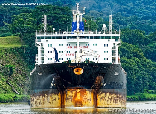
Vessel profile: FIDAN is a Chemical/Oil Products Tanker with dimensions 183m x 32m.
This page combines live AIS, route history, probable destination signals, nearby traffic, and port activity for practical vessel monitoring.
The current position of vessel FIDAN is 55.16213 lat / 13.15075 lng. Updated: 2026-06-13 13:28:02 UTCNearest reference points:
- Near Trelleborg
- Near Oxie
- Near Skanör
Currently sailing under the flag of Marshall Islands ![]()
FIDAN built in 2009 year
Deadweight:
49999 tDetails:
Live Vessel FIDAN Analytics (details, animations, etc.)
Recent AIS points (UTC):
2026-06-13 10:25:57 UTC · 55.61029, 12.69745 · SOG 11.1 kn · COG 177°2026-06-13 11:50:38 UTC · 55.34087, 12.63662 · SOG 13.2 kn · COG 191°
2026-06-13 13:28:02 UTC · 55.16213, 13.15075 · SOG 13.5 kn · COG 123°
2026-06-13 13:28:02 UTC · 55.16213, 13.15075 · SOG 13.5 kn · COG 123°