 vesseltracker.com
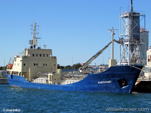
Eastcoast
Current StatusWhere is the vessel?
Eastcoast is currently in Near Lokrum, based on AIS data received less than 1h ago.
Latest AIS update:
Current position: 42.53155° N, 17.98110° E (Near Lokrum)
Average speed (last 7 days): Loading…
Average speed (last 30 days): Loading…
Vessel profile: Eastcoast is a General Cargo Ship with dimensions 9m x 64m.
This page combines live AIS, route history, probable destination signals, nearby traffic, and port activity for practical vessel monitoring.
The current position of vessel Eastcoast is 42.53155 lat / 17.98110 lng. Updated: 2026-05-14 04:36:25 UTCNearest reference points:
- Near Sustjepan
- 15 nm SW of Cavtat
- Near Dubravica
Details:
Live Vessel Eastcoast Analytics (details, animations, etc.)
Recent AIS points (UTC):
2026-05-14 01:23:27 UTC · 42.64784, 17.40302 · SOG 8.3 kn · COG 97°2026-05-14 01:30:29 UTC · 42.64610, 17.42479 · SOG 8.2 kn · COG 96°
2026-05-14 03:43:58 UTC · 42.58489, 17.83302 · SOG 8.3 kn · COG 116°
2026-05-14 04:36:25 UTC · 42.53155, 17.98110 · SOG 8.3 kn · COG 114°