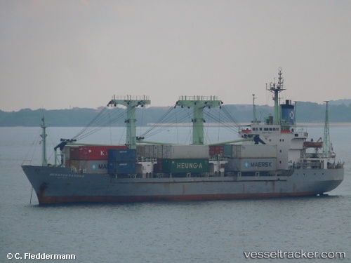
Meratus Sabang
Current StatusWhere is the vessel?
Meratus Sabang is currently in 33 nm N of TANJUNG JATI, based on AIS data received about 15h ago.
Latest AIS update:
Current position: 5.88500° S, 110.72667° E (33 nm N of TANJUNG JATI)
Average speed (last 7 days): Loading…
Average speed (last 30 days): Loading…
Vessel profile: Meratus Sabang is a General Cargo Ship with dimensions 16m x 98m.
This page combines live AIS, route history, probable destination signals, nearby traffic, and port activity for practical vessel monitoring.
The current position of vessel Meratus Sabang is -5.88500 lat / 110.72667 lng. Updated: 2026-06-24 16:13:02 UTCNearest reference points:
- 49 nm NE of TANJUNG JATI
- 68 nm NW of Gagak Rimang Fso
- Near Batang
Details:
Live Vessel Meratus Sabang Analytics (details, animations, etc.)
Recent AIS points (UTC):
2026-06-24 13:19:00 UTC · -5.66667, 110.81500 · SOG 5 kn · COG -1°2026-06-24 13:58:00 UTC · -5.72667, 110.79333 · SOG 5 kn · COG -1°
2026-06-24 16:04:00 UTC · -5.87333, 110.72833 · SOG 4 kn · COG -1°
2026-06-24 16:13:02 UTC · -5.88500, 110.72667 · SOG 4 kn · COG -1°