Mv.meratusbatam
Current StatusWhere is the vessel?
Mv.meratusbatam is currently in Near Tanjung Perak, based on AIS data received about 14h ago.
Latest AIS update:
Current position: 7.20455° S, 112.72339° E (Near Tanjung Perak)
Average speed (last 7 days): Loading…
Average speed (last 30 days): Loading…
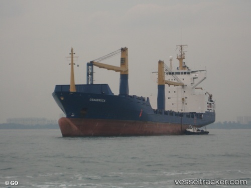
Vessel profile: Mv.meratusbatam is a Container Ship with dimensions 24m x 140m.
This page combines live AIS, route history, probable destination signals, nearby traffic, and port activity for practical vessel monitoring.
The current position of vessel Mv.meratusbatam is -7.20455 lat / 112.72339 lng. Updated: 2026-05-25 01:25:01 UTCNearest reference points:
- Near Kalianak Barat
- Near Tanjung Perak
- Near Tanjong Perak
Details:
Live Vessel Mv.meratusbatam Analytics (details, animations, etc.)
Recent AIS points (UTC):
2026-05-24 21:25:14 UTC · -7.18800, 112.69791 · SOG 6.8 kn · COG 119°2026-05-24 22:37:01 UTC · -7.20459, 112.72332 · SOG 0 kn · COG 154°
2026-05-24 23:49:02 UTC · -7.20453, 112.72343 · SOG 0 kn · COG 154°
2026-05-25 01:25:01 UTC · -7.20455, 112.72339 · SOG 0.1 kn · COG 153°