 Alexandra
Current Status
Where is the vessel?
Alexandra is currently in 18 nm E of Ceuta, based on AIS data received about 14h ago.
Latest AIS update:
Current position: 35.91387° N, 4.93535° W (18 nm E of Ceuta)
Average speed (last 7 days): Loading…
Average speed (last 30 days): Loading…
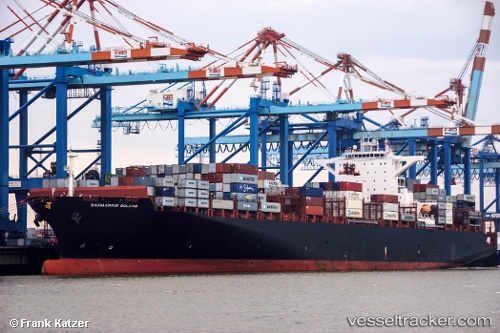
Vessel profile: Alexandra is a Container Ship with dimensions 270m x 270m.
This page combines live AIS, route history, probable destination signals, nearby traffic, and port activity for practical vessel monitoring.
The current position of vessel Alexandra is 35.91387 lat / -4.93535 lng. Updated: 2026-05-20 09:55:35 UTCNearest reference points:
- 30 nm E of Ceuta
- Near Waterport
- Near Algeciras
Currently sailing under the flag of Marshall Is ![]()
Alexandra built in 2013 year
Deadweight:
80274 tDetails:
Live Vessel Alexandra Analytics (details, animations, etc.)
Recent AIS points (UTC):
2026-05-20 05:51:44 UTC · 35.88883, -5.49970 · SOG 0.2 kn · COG 41°2026-05-20 07:24:15 UTC · 35.99243, -5.24385 · SOG 12.6 kn · COG 103°
2026-05-20 07:30:05 UTC · 35.98908, -5.21875 · SOG 12.6 kn · COG 105°
2026-05-20 09:55:35 UTC · 35.91387, -4.93535 · SOG 0.5 kn · COG 315°