 vesseltracker.com
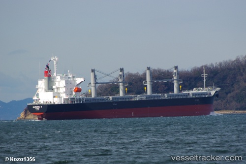
Gardenia K
Current StatusWhere is the vessel?
Gardenia K is currently in 23 nm SE of Anan, based on AIS data received less than 1h ago.
Latest AIS update:
Current position: 33.54466° N, 134.95186° E (23 nm SE of Anan)
Average speed (last 7 days): Loading…
Average speed (last 30 days): Loading…
Vessel profile: Gardenia K is a Bulk Carrier with dimensions 30m x 180m.
This page combines live AIS, route history, probable destination signals, nearby traffic, and port activity for practical vessel monitoring.
The current position of vessel Gardenia K is 33.54466 lat / 134.95186 lng. Updated: 2026-04-26 10:00:38 UTCNearest reference points:
- 12 nm S of Gobo Wakayama
- 18 nm SE of Gobo Wakayama
- 40 nm SW of Minachi
Details:
Live Vessel Gardenia K Analytics (details, animations, etc.)
Recent AIS points (UTC):
2026-04-26 07:23:07 UTC · 33.55571, 134.72610 · SOG 6.1 kn · COG 86°2026-04-26 07:55:47 UTC · 33.56157, 134.79279 · SOG 6.7 kn · COG 83°
2026-04-26 09:42:26 UTC · 33.53933, 134.98895 · SOG 7 kn · COG 207°
2026-04-26 10:00:38 UTC · 33.54466, 134.95186 · SOG 7.4 kn · COG 295°