 vesseltracker.com
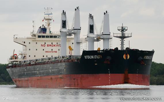
 Interlink Utility
Current Status
Where is the vessel?
Interlink Utility is currently in 200 nm N of Aquiraz, based on AIS data received less than 1h ago.
Latest AIS update:
Current position: 0.73066° S, 29.46594° W (200 nm N of Aquiraz)
Average speed (last 7 days): Loading…
Average speed (last 30 days): Loading…
Vessel profile: Interlink Utility is a Bulk Carrier with dimensions 180m x 32m.
This page combines live AIS, route history, probable destination signals, nearby traffic, and port activity for practical vessel monitoring.
The current position of vessel Interlink Utility is -0.73066 lat / -29.46594 lng. Updated: 2026-05-14 21:39:56 UTCCurrently sailing under the flag of Marshall Is ![]()
Details:
Live Vessel Interlink Utility Analytics (details, animations, etc.)
Recent AIS points (UTC):
2026-05-14 18:25:25 UTC · -0.23419, -29.22901 · SOG 10.1 kn · COG 205°2026-05-14 19:51:04 UTC · -0.45705, -29.33247 · SOG 10.2 kn · COG 206°
2026-05-14 20:00:26 UTC · -0.48137, -29.34328 · SOG 10.1 kn · COG 206°
2026-05-14 21:39:56 UTC · -0.73066, -29.46594 · SOG 10.2 kn · COG 207°