 vesseltracker.com
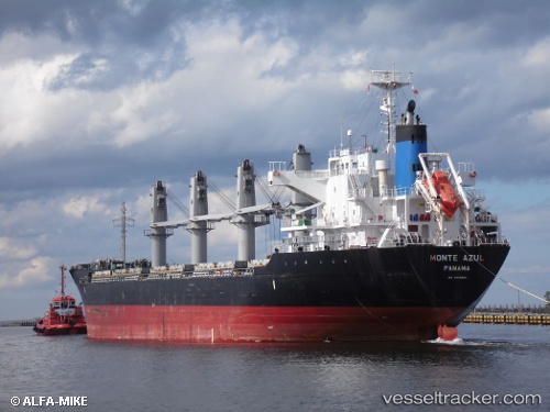
 Sagittarius
Current Status
Where is the vessel?
Sagittarius is currently in 34 nm W of Manta, based on AIS data received less than 1h ago.
Latest AIS update:
Current position: 0.98928° S, 81.29477° W (34 nm W of Manta)
Average speed (last 7 days): Loading…
Average speed (last 30 days): Loading…
Vessel profile: Sagittarius is a Bulk Carrier with dimensions 169m x 27m.
This page combines live AIS, route history, probable destination signals, nearby traffic, and port activity for practical vessel monitoring.
The current position of vessel Sagittarius is -0.98928 lat / -81.29477 lng. Updated: 2026-05-01 15:24:31 UTCNearest reference points:
- Near MANTA
- 22 nm W of Bahía de Caráquez
- Near La Libertad
Currently sailing under the flag of Marshall Is ![]()
Sagittarius built in 2010 year
Deadweight:
28508 tDetails:
Live Vessel Sagittarius Analytics (details, animations, etc.)
Recent AIS points (UTC):
2026-05-01 12:13:42 UTC · -0.44687, -81.18301 · SOG 10.4 kn · COG 193°2026-05-01 13:43:41 UTC · -0.70352, -81.23887 · SOG 10.3 kn · COG 191°
2026-05-01 14:28:02 UTC · -0.82840, -81.26405 · SOG 10.4 kn · COG 191°
2026-05-01 15:24:31 UTC · -0.98928, -81.29477 · SOG 10.1 kn · COG 189°