 vesseltracker.com
 Hope Island
Current Status
Where is the vessel?
Hope Island is currently in Near NHAVA SHEVA, based on AIS data received less than 1h ago.
Latest AIS update:
Current position: 18.95969° N, 72.94858° E (Near NHAVA SHEVA)
Average speed (last 7 days): Loading…
Average speed (last 30 days): Loading…
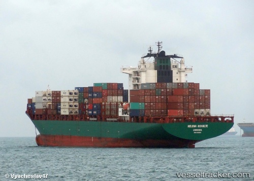
Vessel profile: Hope Island is a Container Ship with dimensions 231m x 32m.
This page combines live AIS, route history, probable destination signals, nearby traffic, and port activity for practical vessel monitoring.
The current position of vessel Hope Island is 18.95969 lat / 72.94858 lng. Updated: 2026-05-14 15:20:49 UTCNearest reference points:
- Near NHAVA SHEVA
- Near Mumbai
- Near HNB SEZ/Mumbai
Currently sailing under the flag of Marshall Is ![]()
Hope Island built in 2006 year
Deadweight:
42106 tDetails:
Live Vessel Hope Island Analytics (details, animations, etc.)
Recent AIS points (UTC):
2026-05-14 12:23:49 UTC · 18.95964, 72.94863 · SOG 0 kn · COG 205°2026-05-14 13:14:47 UTC · 18.95967, 72.94854 · SOG 0 kn · COG 206°
2026-05-14 13:44:49 UTC · 18.95968, 72.94851 · SOG 0 kn · COG 205°
2026-05-14 15:20:49 UTC · 18.95969, 72.94858 · SOG 0 kn · COG 206°