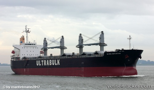
Unity
Current StatusWhere is the vessel?
Unity is currently in Near ITACOATIARA, based on AIS data received about 15h ago.
Latest AIS update:
Current position: 3.19167° S, 58.36667° W (Near ITACOATIARA)
Average speed (last 7 days): Loading…
Average speed (last 30 days): Loading…
Vessel profile: Unity is a Ore Carrier with dimensions 32m x 190m.
This page combines live AIS, route history, probable destination signals, nearby traffic, and port activity for practical vessel monitoring.
The current position of vessel Unity is -3.19167 lat / -58.36667 lng. Updated: 2026-05-20 07:24:59 UTCNearest reference points:
- Near ITACOATIARA
- Near Manaus
Details:
Live Vessel Unity Analytics (details, animations, etc.)
Recent AIS points (UTC):
2026-05-20 05:06:08 UTC · -3.19202, -58.36722 · SOG 0 kn · COG 293°2026-05-20 06:06:15 UTC · -3.19203, -58.36727 · SOG 0 kn · COG 294°
2026-05-20 07:18:08 UTC · -3.19202, -58.36730 · SOG 0 kn · COG 294°
2026-05-20 07:24:59 UTC · -3.19167, -58.36667 · SOG 0 kn · COG -1°