Magic P
Current StatusWhere is the vessel?
Magic P is currently in 214 nm SE of Richards Bay, based on AIS data received about 14h ago.
Latest AIS update:
Current position: 30.51784° S, 35.76196° E (214 nm SE of Richards Bay)
Average speed (last 7 days): Loading…
Average speed (last 30 days): Loading…
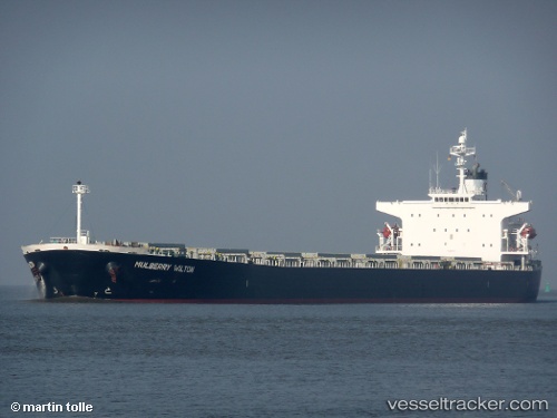
Vessel profile: Magic P is a Bulk Carrier with dimensions 32m x 225m.
This page combines live AIS, route history, probable destination signals, nearby traffic, and port activity for practical vessel monitoring.
The current position of vessel Magic P is -30.51784 lat / 35.76196 lng. Updated: 2026-06-17 04:31:04 UTCNearest reference points:
- 163 nm SE of Richards Bay
- 181 nm SE of Hibberdene
Details:
Live Vessel Magic P Analytics (details, animations, etc.)
Recent AIS points (UTC):
2026-06-17 01:30:14 UTC · -30.27959, 36.40716 · SOG 12.2 kn · COG 245°2026-06-17 01:56:33 UTC · -30.31831, 36.31566 · SOG 11.8 kn · COG 244°
2026-06-17 04:17:44 UTC · -30.49668, 35.80812 · SOG 12 kn · COG 242°
2026-06-17 04:31:04 UTC · -30.51784, 35.76196 · SOG 12.2 kn · COG 242°