Maria D
Current StatusWhere is the vessel?
Maria D is currently in 42 nm E of Cape Agulhas, based on AIS data received about 4d ago.
Latest AIS update:
Current position: 34.94350° S, 20.84090° E (42 nm E of Cape Agulhas)
Average speed (last 7 days): Loading…
Average speed (last 30 days): Loading…
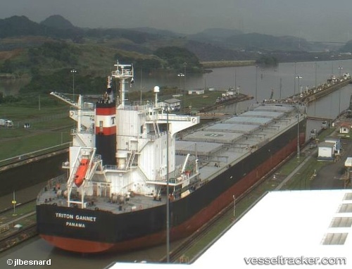
Vessel profile: Maria D is a Bulk Carrier with dimensions 32m x 225m.
This page combines live AIS, route history, probable destination signals, nearby traffic, and port activity for practical vessel monitoring.
The current position of vessel Maria D is -34.94350 lat / 20.84090 lng. Updated: 2026-05-15 20:50:25 UTCNearest reference points:
- 37 nm S of Mosselbaai
- 16 nm S of Mosselbaai
- Near Mosselbaai
Details:
Live Vessel Maria D Analytics (details, animations, etc.)
Recent AIS points (UTC):
2026-05-15 20:50:25 UTC · -34.94350, 20.84090 · SOG 10.8 kn · COG 307°2026-05-15 20:50:25 UTC · -34.94350, 20.84090 · SOG 10.8 kn · COG 307°
2026-05-15 20:50:25 UTC · -34.94350, 20.84090 · SOG 10.8 kn · COG 307°
2026-05-15 20:50:25 UTC · -34.94350, 20.84090 · SOG 10.8 kn · COG 307°
2026-05-15 20:50:25 UTC · -34.94350, 20.84090 · SOG 10.8 kn · COG 307°