 vesseltracker.com
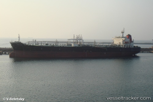
 BACHATA
Current Status
Where is the vessel?
BACHATA is currently in 32 nm W of Cape Of Good Hope, based on AIS data received about 131d ago.
Latest AIS update:
Current position: 34.54753° S, 17.76459° E (32 nm W of Cape Of Good Hope)
Average speed (last 7 days): Loading…
Average speed (last 30 days): Loading…
Vessel profile: BACHATA is a Crude Oil Tanker with dimensions 32m x 189m.
This page combines live AIS, route history, probable destination signals, nearby traffic, and port activity for practical vessel monitoring.
The current position of vessel BACHATA is -34.54753 lat / 17.76459 lng. Updated: 2026-01-03 06:03:12 UTCNearest reference points:
- 18 nm SW of Cape Of Good Hope
- Near HOUT BAY
- 12 nm W of ROBBEN ISLAND
Currently sailing under the flag of Marshall Islands ![]()
BACHATA built in 2008 year
Deadweight:
50179 tDetails:
Live Vessel BACHATA Analytics (details, animations, etc.)
Recent AIS points (UTC):
2026-01-03 06:03:12 UTC · -34.54753, 17.76459 · SOG 15.3 kn · COG 317°