 MAGIC MARS
Current Status
Where is the vessel?
MAGIC MARS is currently in 160 nm SE of Port Saint John's, based on AIS data received about 14h ago.
Latest AIS update:
Current position: 33.97087° S, 31.05410° E (160 nm SE of Port Saint John's)
Average speed (last 7 days): Loading…
Average speed (last 30 days): Loading…
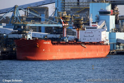
Vessel profile: MAGIC MARS is a Bulk Carrier with dimensions 223m x 32m.
This page combines live AIS, route history, probable destination signals, nearby traffic, and port activity for practical vessel monitoring.
The current position of vessel MAGIC MARS is -33.97087 lat / 31.05410 lng. Updated: 2026-06-29 10:17:37 UTCNearest reference points:
- 125 nm SE of Port Edward
- 23 nm E of Port Saint John's
Currently sailing under the flag of Marshall Islands ![]()
MAGIC MARS built in 2014 year
Deadweight:
76822 tDetails:
Live Vessel MAGIC MARS Analytics (details, animations, etc.)
Recent AIS points (UTC):
2026-06-29 07:28:48 UTC · -34.17484, 30.44296 · SOG 10.8 kn · COG 64°2026-06-29 08:02:15 UTC · -34.13673, 30.55572 · SOG 10.9 kn · COG 63°
2026-06-29 10:14:07 UTC · -33.97548, 31.04143 · SOG 11.8 kn · COG 64°
2026-06-29 10:17:37 UTC · -33.97087, 31.05410 · SOG 11.8 kn · COG 64°