 ORION GLOBE
Current Status
Where is the vessel?
ORION GLOBE is currently in 72 nm E of Kaohsiung, based on AIS data received about 14h ago.
Latest AIS update:
Current position: 22.57339° N, 121.60936° E (72 nm E of Kaohsiung)
Average speed (last 7 days): Loading…
Average speed (last 30 days): Loading…
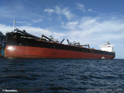
Vessel profile: ORION GLOBE is a Bulk Carrier with dimensions 32m x 229m.
This page combines live AIS, route history, probable destination signals, nearby traffic, and port activity for practical vessel monitoring.
The current position of vessel ORION GLOBE is 22.57339 lat / 121.60936 lng. Updated: 2026-06-16 19:42:15 UTCNearest reference points:
- 55 nm S of Hua-Lien Kang
- 26 nm SE of Kaohsiung
- 11 nm SE of Kaohsiung
Currently sailing under the flag of Marshall Islands ![]()
ORION GLOBE built in 2015 year
Deadweight:
81837 tDetails:
Live Vessel ORION GLOBE Analytics (details, animations, etc.)
Recent AIS points (UTC):
2026-06-16 15:17:17 UTC · 21.82375, 121.06395 · SOG 12.4 kn · COG 40°2026-06-16 16:36:53 UTC · 22.00666, 121.22260 · SOG 12 kn · COG -1°
2026-06-16 18:17:15 UTC · 22.32539, 121.44413 · SOG 12.3 kn · COG 35°
2026-06-16 19:42:15 UTC · 22.57339, 121.60936 · SOG 12.5 kn · COG 28°